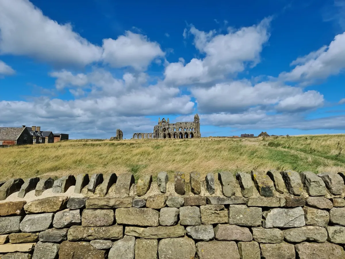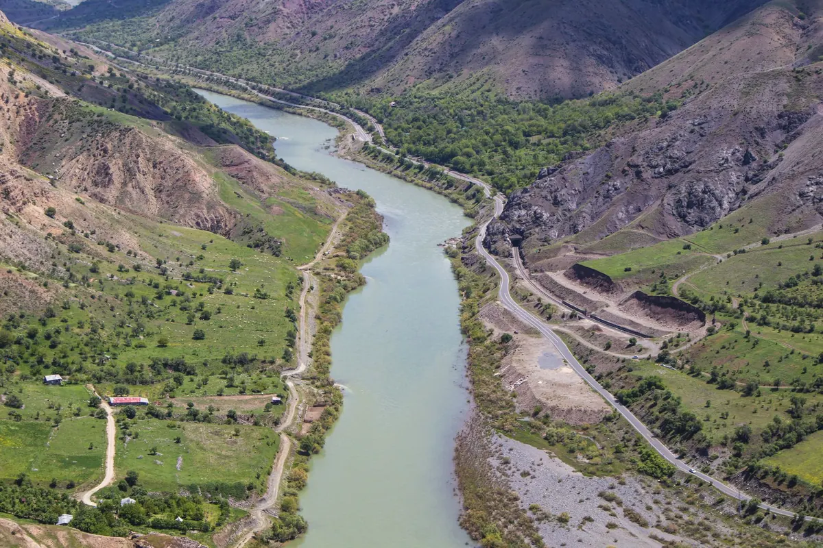
Stand at the head of a Yorkshire dale, or on the shoulder of a Welsh valley, and you will often see the ruin before you see the road that reaches it. Grey walls on a flat shelf of grass, a river bending around them, wooded slopes closing in on both sides. It looks like a decision made for the view. It almost never was.
Monastic founders were making a practical calculation, and the same four factors come up again and again: water, land, money, and distance from the world. Read them in that order and most remote monasteries stop looking accidental.
A community of thirty monks and twice as many lay brothers needed water the way a mill needs a wheel. Drinking and cooking, brewing, laundry, the infirmary, the latrines, the kitchens, the fish ponds, the mill, the garden, the livestock. Then drainage — the other half of the equation, and the one that settled more sites than any romantic idea about scenery.
This is why so many houses sit on a river terrace rather than in the bottom of the valley. The terrace gives you height above the flood, a gentle fall for drainage, and clean springs emerging where the gravel meets the slope. At Fountains Abbey the community was placed on the River Skell, which supplied the mill, the fish ponds and the channel that ran beneath the latrine block before carrying waste downstream. Rievaulx took the same approach on the River Rye; Cluny, founded in 910 in the Grosne valley, sat where the water could be managed without being feared.
The river is obvious. The interesting archaeology is usually the channel somebody dug. When you visit a site, walk the precinct boundary and look for:
Self-sufficiency was the ideal, and it demanded variety rather than size. A valley that offered only pasture would starve a house; one with only ploughland could not keep cattle through winter. Founders looked for a compact estate with several different pockets of ground.
South-facing slopes mattered. They warm early, ripen crops and fruit, and drain well. Terraces you see cut into hillsides around old monastic sites in the Rhine and Moselle valleys, in Liguria and along the Amalfi coast were not ornamental — they were a way of turning a steep slope into workable ground. Woodland was just as valuable: fuel, charcoal, building timber, pannage for pigs, and a boundary against neighbours.
Then there was the flood question. Valley floors flood, and a monastery built on one loses its stores, its books and sometimes its people. The pattern is consistent across Europe: build on the higher shoulder, farm the flat land below, and let the river have the floodplain.
Monks rarely had the freedom to settle wherever they liked. In most of Europe, a community arrived because a king, bishop, baron or widow gave them the land — and the donor's interests shaped the map as much as the monks' needs did.
Remote land was cheap to give away. It cost a lord little, since he was not farming it himself, and by handing it to a religious house he gained something durable: perpetual prayer for his family, a burial place in the chapter house or beneath the nave, a share in the reputation of a holy community, and a permanent, literate presence on a frontier he could not easily garrison. Cluny began with a gift from Duke William of Aquitaine in a hunting forest. The Cistercian houses of the north of England — Rievaulx, Fountains, Byland — began with grants from barons and archbishops who wanted exactly that combination of prayer, prestige and settlement.
Founders also thought about roads. Wells, fords, mountain passes and navigable rivers decided where wealth moved, and a monastery planted near one collected tolls, hospitality fees and trade. The settlement outside the gate — the town, the fair, the mill — often grew because the monastery was there, not the other way round.
The wish for withdrawal was genuine. Silence, stability, freedom from the endless business of the world: this is what the rule of life asked for, and it is why communities pushed up valleys that nobody else wanted.
But isolation had a ceiling. A house too far from a market could not sell its wool or buy its iron. Too far from a bishop meant no consecrations, no chrism, no ordination of new monks. Too far from any lord meant no protection when raiders came, and remote monasteries in border country — the Tweed valley houses of Melrose, Jedburgh and Dryburgh, the abbeys of the Welsh Marches — learned that lesson repeatedly.
The ideal was a compromise: one obvious approach road that could be watched, a defensible shoulder of ground, water that could be managed, enough arable and pasture to feed the community, and a town within a day's ride. Tintern's position on the Wye, Einsiedeln's in its Alpine hollow, and the great houses of the Athos peninsula all show the same logic — reachable, but only if you meant to come.
Next time you walk to a ruined abbey, take ten minutes before you go through the gate. Stand back and look at the shape of the land. The whole settlement strategy is usually visible from a few hundred metres away.
A few practical notes. Valley floors are damp and steep-sided sites get muddy — boots and a spare layer are worth carrying. Stay on paths, keep off unstable masonry, and never lift a stone or use a metal detector: in most countries a site like this is protected by law, and disturbing it can be an offence. If you own land with earthworks on it, or are planning any work near a protected site, check the rules with the national heritage body for that country before you start, and take professional archaeological advice. Regulations differ sharply from place to place, and a quick enquiry saves a great deal of trouble.
Go with the question "why here?" in your pocket. The answer is almost always in the water, the slope and the man who paid for the walls.
Photo: Zülfü Demir📸 / Pexels